Anasayfa > Kitap< Geri dönün
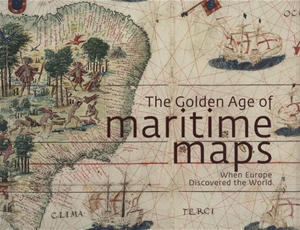
The Golden Age of Maritime Maps: When Europe Discovered the World
Yayınevi: Firefly Books
ISBN: 9781770852389
1.350,00 TL (KDV Dahil)
Kargoya verilme süresi: 1 - 5 İş Günü
Ürün tükenmiştir!
Ürün temini hakkında bizimle iletişime geçebilirsiniz.
Yazar: Catherine Hofmann, Emmanuelle Vagnon, Helene Richard
Cilt tipi: Şömizli Sert Kapak
First appearing in 13th-century Italy, portolan charts were parchment atlases prized by sailors as navigational aids, and were used to interest wealthy sponsors in empire-building. Shown here in more than 200 color reproductions—with some two-page spreads up to 10 × 21½ inches wide—these maps are also striking works of art, often exhibiting what we might now consider a firm grasp of global geography. Here too are some flights of fancy, including a depiction of Caucasian pygmies battling fierce, oversized cranes. The book's essays trace how portolan charts were used to document the Mediterranean Sea and the Atlantic and Indian Oceans, where Europeans depended on existing Arab and Asian maps.
English
2013
256 Pages
26 x 28,50 cm

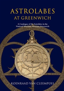
 Astrolabes at Greenwich : A Catalogue of the Astrolabes in the National Maritime Museum